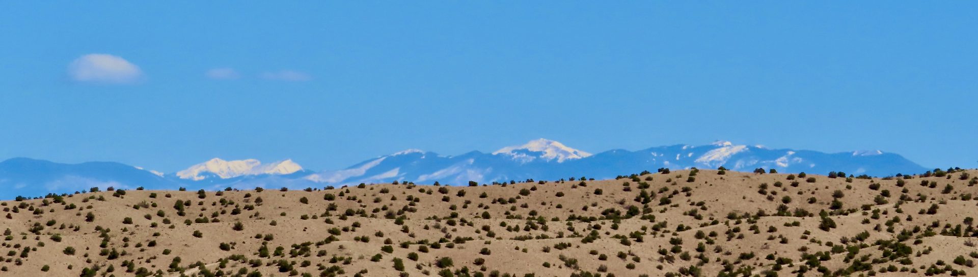
The Cerro Pelado fire in the Jemez Mountains, photographed from Placitas, spotting east on April 30. The fire started in what pundits called a big “wind event” on April 22 — Earth Day, by the way. It has burned into the 2011 Las Conchas burn scar but still threatens cabin clusters on several sides and “cultural resources,” namely sacred pueblo locations, to the south. Los Alamos is about 10 miles to the north. The treasured Valles Caldera, at the foot of Redondo Peak at the left of this frame, is closer, although still north of the fire this morning. The fire is just west of Bandelier National Monument this morning.
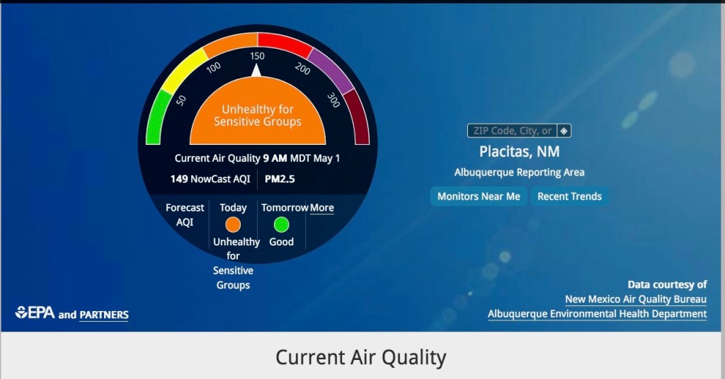
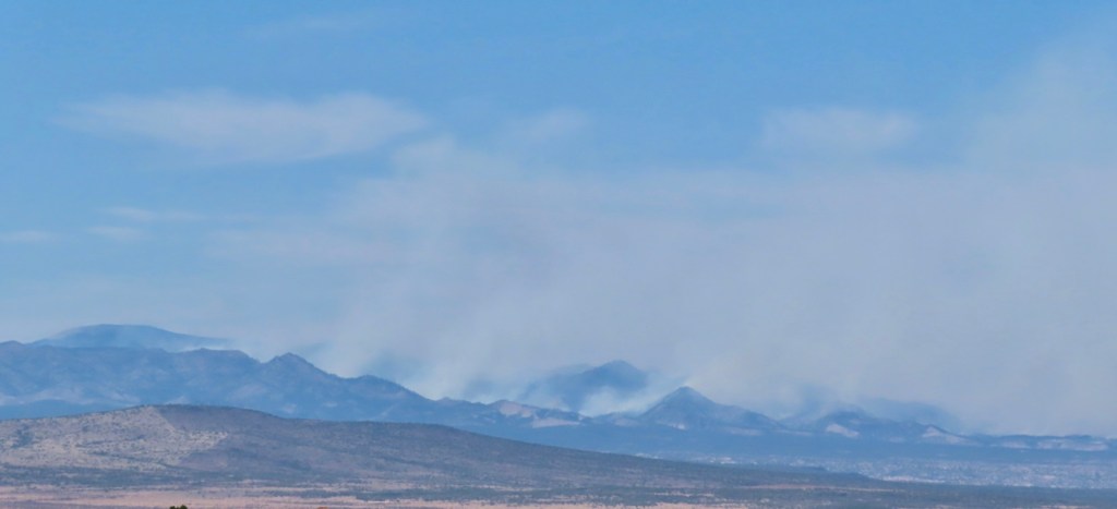
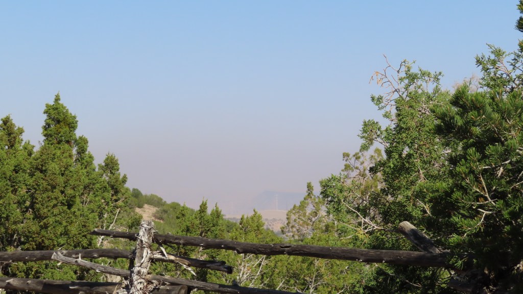
Cerro Pelado is throwing off a lot of smoke. Santa Fe, to the east, has been inundated for days but the smoke shifted to the south overnight and the upper Middle Rio Grande Valley is getting a lot of it today, 05/01/22.
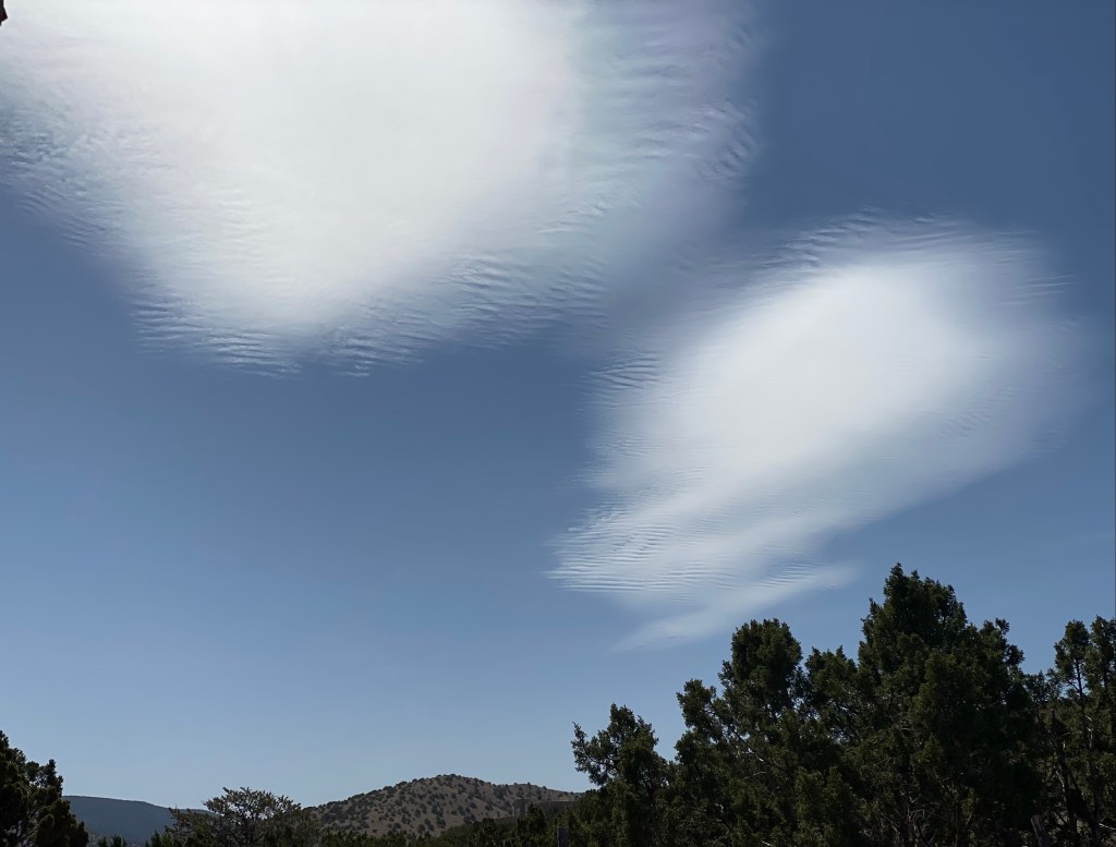
We’ve had good mornings here and there but today was not one of them.
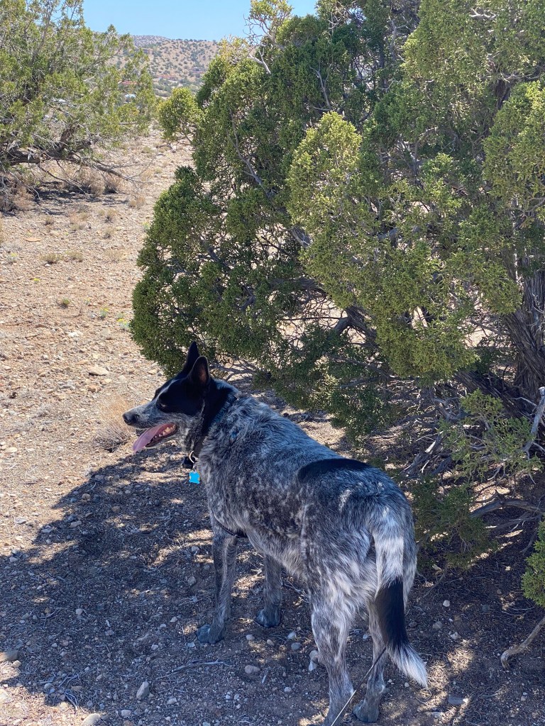
Cowboy was already starting to shade up on our walks, but this is more about climate warming and aridification than just a change of seasons.

Snow on the north side of the Sandia mountain is almost entirely gone. If Placitas got any rain in April, I don’t remember.
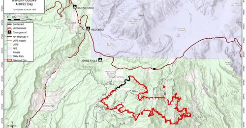
The Cerro Pelado fire was up to 15,650 acres on Sunday morning, 05/01/22.

The Hermit’s Peak/Calf Canyon fire on the east side of the Sangre de Cristo Mountains, near Las Vegas, is a bigger and even more threatening fire. (USFS photo).

The Hermit’s Peak fire, shown combined with the Calf Canyon fire this morning, 05/01/22, started April 6 when “multiple spot fires spread beyond” an earlier “prescribed fire project boundary,” according to official sources. The Calf Canyon fire to the southwest or the original fire, near Gallinas Canyon, was reported on April 19 and later combined with the Hermit’s Peak fire. The wind-plagued combined fire was near 100,000 acres on Sunday morning, 05/01/22.
Fire officials said Saturday night that, with no helpful weather in sight, it probably will burn for weeks and still could “easily double in size.” It has overrun and still threatens many small ranches and generations-old homesteads in the mountain valleys. It threatens the Las Vegas watershed and municipal water supply. It’s been clear from the comments of local sheriffs that some residents have wanted to stay home, despite evacuation orders, to protect their properties and livestock.
I’m not sure I’ve ever seen a fire sky as dark as the one photographed by Eddie Moore of the Albuquerque Journal from Las Vegas on 04/29.
Over a thousand firefighters were assigned to the fire as of 04/30/22. The San Miguel and Mora county sheriff departments were handling damage assessments and evacuation orders.
Oliver LaFarge wrote about the life of his wife and her family in the area in the 1920s, publishing Behind the Mountains in 1956.
