
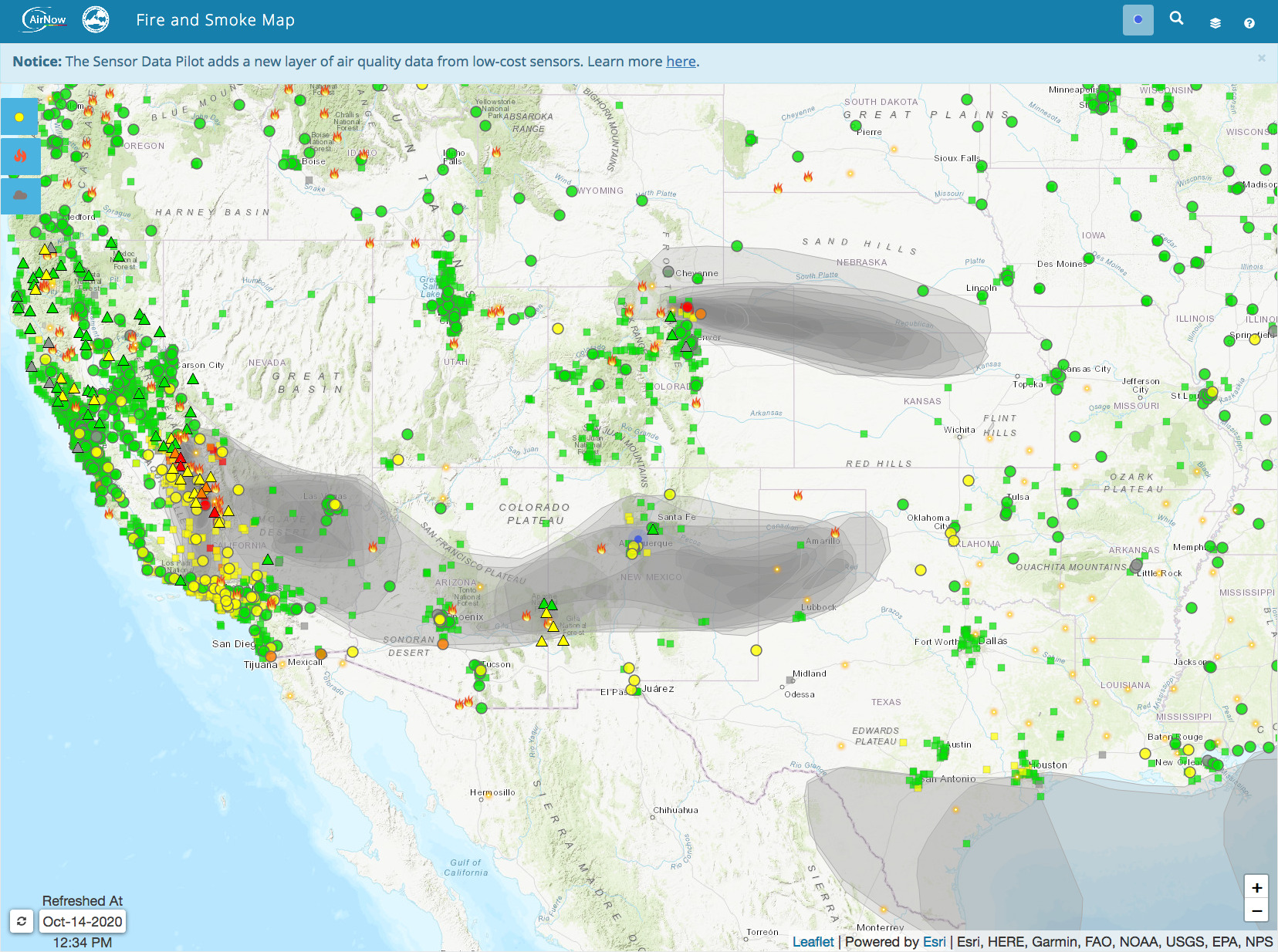
It’s become part of the morning routine: Checking the smoke map.
As I clear my head and loosen old joints, the daily drill is this: Fill the birds’ water dish, make coffee, feed Cowboy and check the smoke reports.
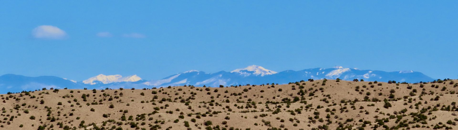
I’ve already seen from bed that the smoke has blown in again. I can’t see the Jemez Mountains, my favorite view before so many houses were built on what’s now called Mustang Mesa and before massive wildfires across multiple western states became standard feature of summer and fall. But I want to know where the smoke is coming from. My eyes sting as soon as I go outside.
This morning’s smoke appears to be from the nearly 400,000-acre and less than 60 percent-contained Creek Fire on the west side of the Sierra Nevada mountains in California. This of course has been hell for Californians and 1,300 firefighters are still working the fire. Roughly 900 miles east, it presents breathing issues for me.
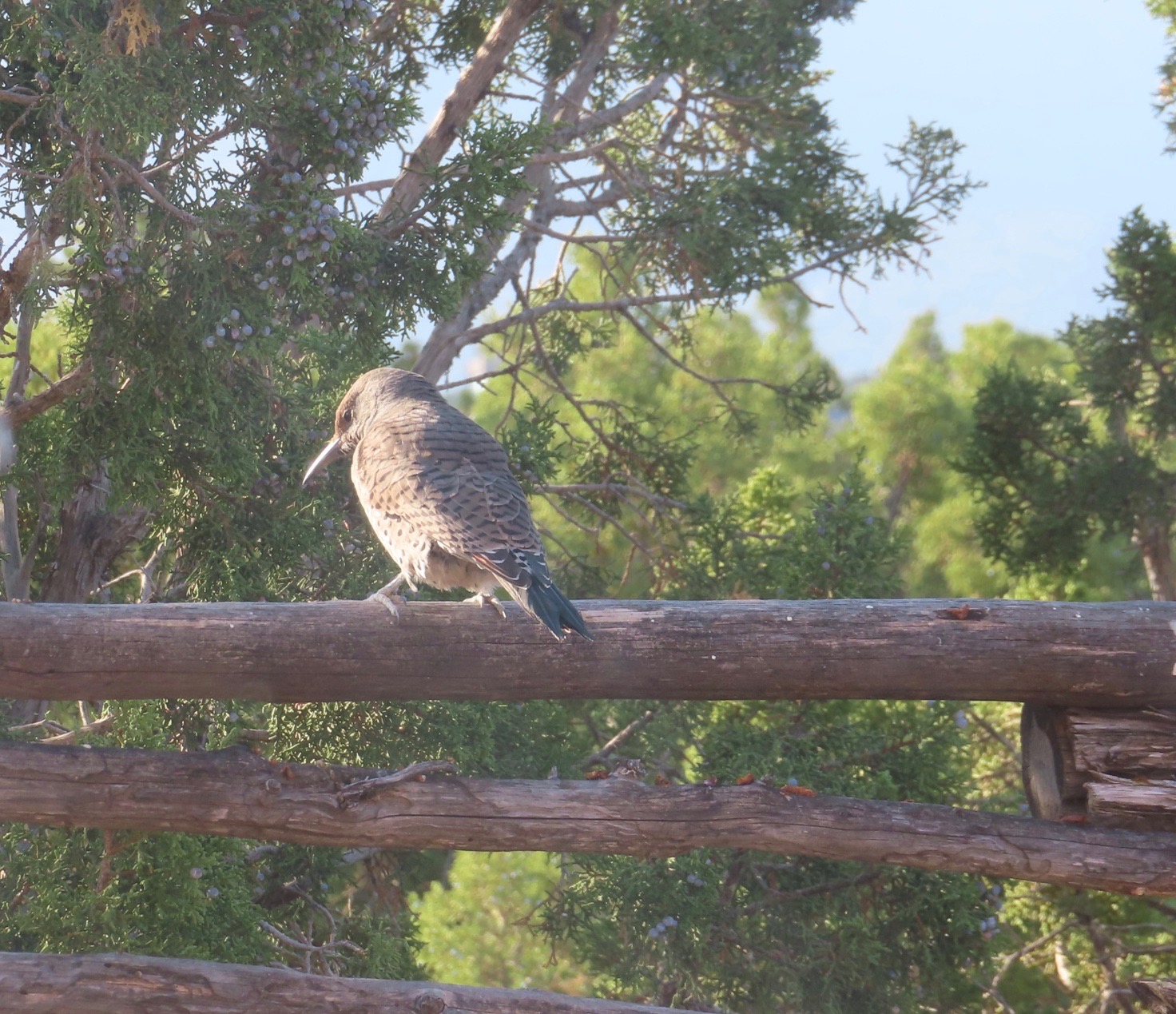
Here at the southern edge of Northern New Mexico, we recently had a solid couple of weeks of smoky days. Fires in Wyoming and Colorado were contributing to the smudging of the sky and air quality alerts in Albuquerque. This last week of October, we’ve had some classic, clear fall days. Last night, Mars was bright but I smelled smoke. This morning the gray was back, smudging out the Jemez and Cabezon from my lower Las Huertas Creek view. I skipped my morning walk with Cowboy. Even birds seemed to be in hiding. Only a few robins and sparrows and the female half of a flicker pair joined me for morning coffee and water.
Here’s the flicker against a smoky background that on a clear day would be the Sandias.
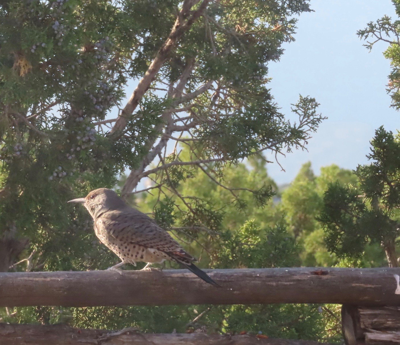
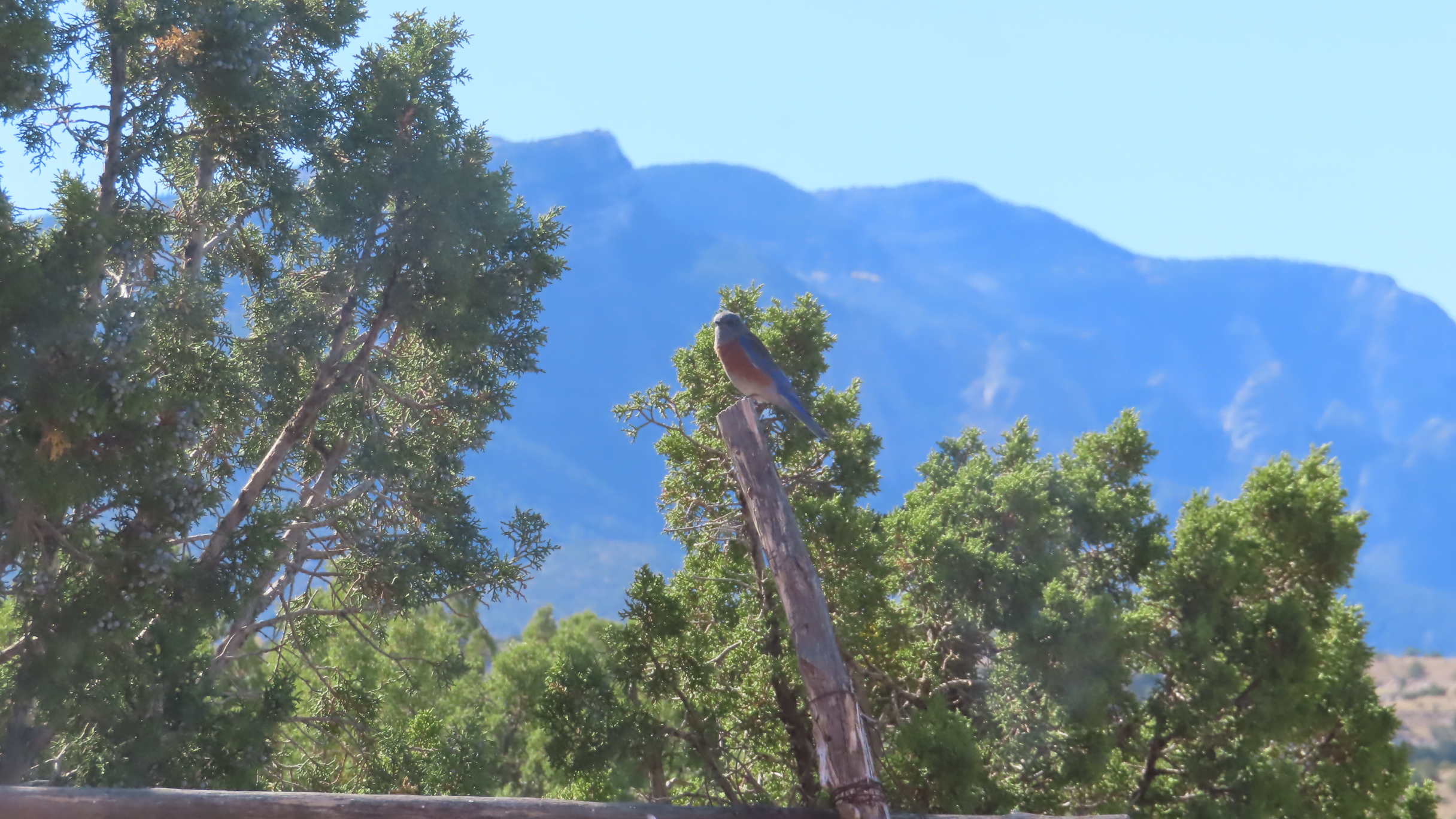
Just a couple of days earlier, flickers and bluebirds posed with backdrops of golden crags at sunset and blue mountains in the morning.

With a high pressure system to the north last month, we saw the smoke hover for weeks. Lately, it’s been blowing in and out quickly. I admit I have COPD. Still, in 2020, checking the smoke reports has become as familiar as lacing my boots.
Little surprises me about wildfires anymore. Fifty years ago, I was on a Type 2 handcrew that fought them in California. But what I saw then would be child’s play compared to what California is seeing now, where 900 fires were burning by mid-September from 14,000 lightning strikes. I haven’t been surprised much since our Las Conchas fire in Northern New Mexico in 2011. It burned over 150,000 acres at a mind-boggling rate — about an acre a second on the first day. And it burned in a lot of country that never seemed too likely to burn. But California — and this year much of the west, from Washington to Colorado — keeps expanding my fears
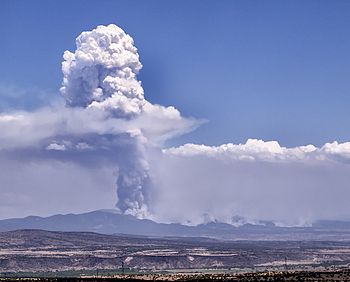
By the way, as soon as I posted this I noticed the U.S. Forest Service had posted a photo of the Cameron Peak Fire west of Fort Collins in northern Colorado, using the increasingly common phrase “extreme fire behavior.”

USFS photo from the internet
